At a glance
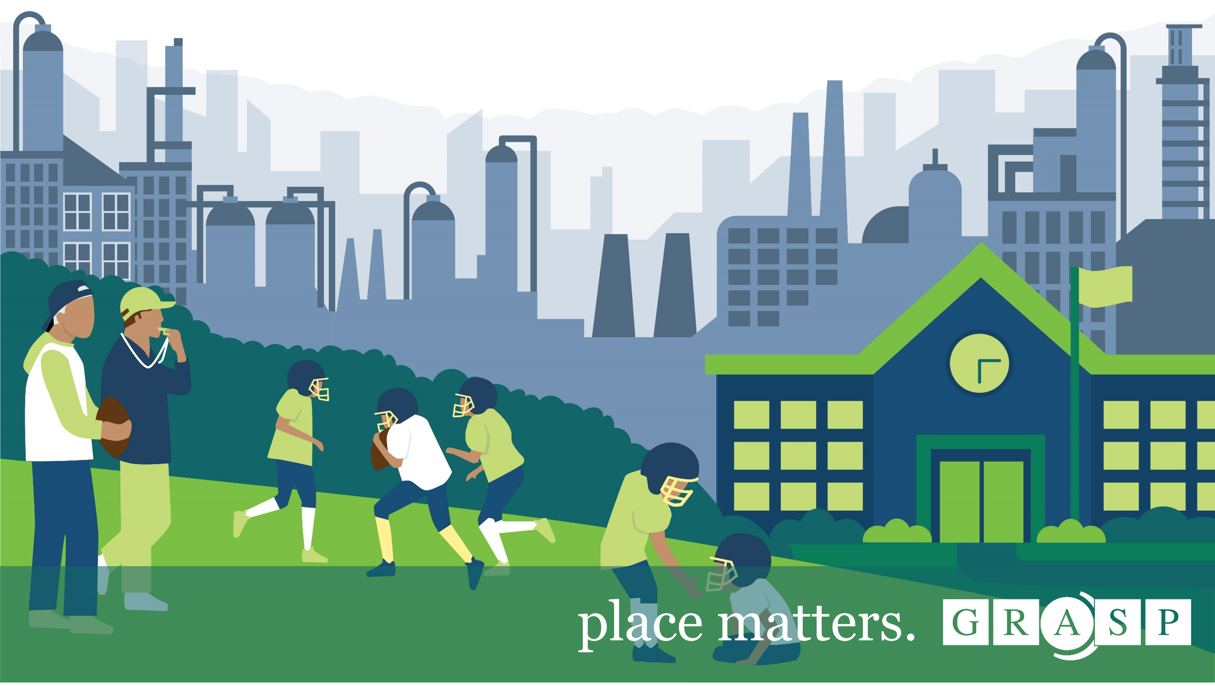
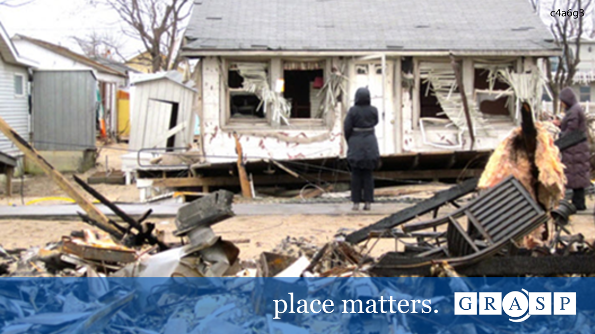
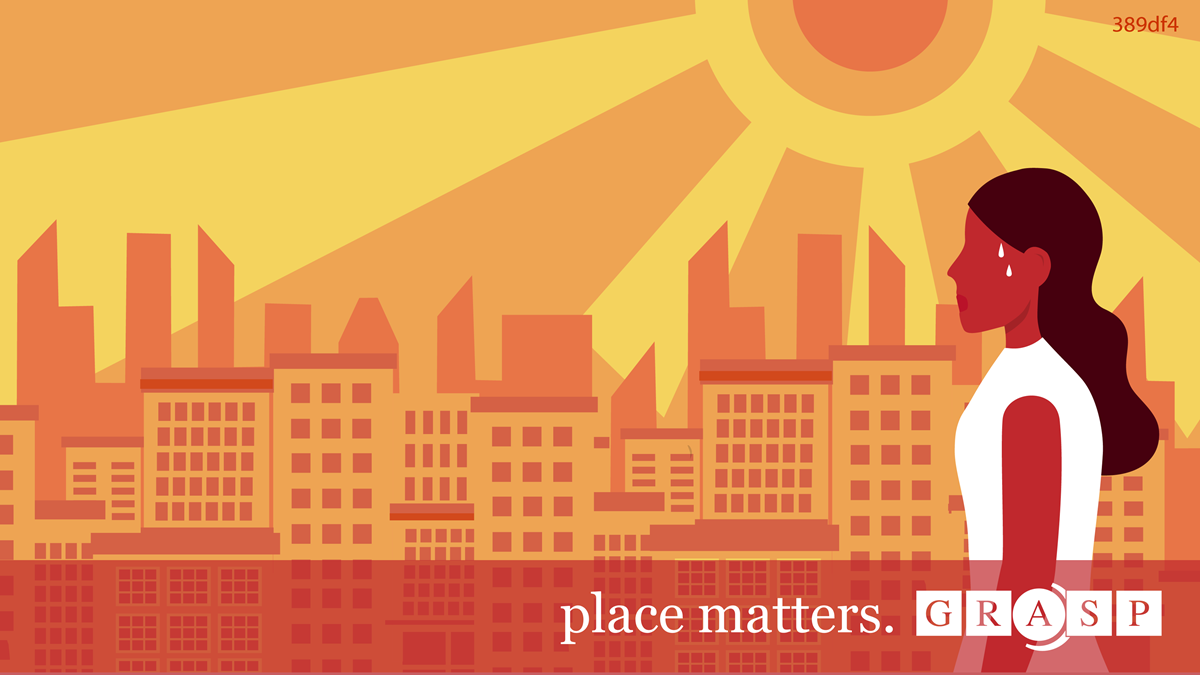
The places of our lives – our homes, workplaces, schools, parks, and houses of worship – affect the quality of our health and influence our experience with disease and well-being. Geospatial science, geographic information systems (GIS), and cartographic visualization provide important concepts, methods, and tools equipping public health scientists to examine, characterize, and analyze the important relationship between our health and the places of our lives.
Why place matters
Your ZIP code shouldn't predict your health, but too often, it does. By understanding how our environments shape our health, we can make smarter decisions about how to build and grow our communities. This means healthier lives for all of us.
How does GRASP work at the intersection of place and health?
The Geospatial Research, Analysis, and Services Program (GRASP) is a team of public health and geospatial science, technology, visualization, and analysis experts. The GRASP mission is to provide leadership, expertise, and education in the application of geography, geospatial science, and geographic information systems (GIS) to public health research and practice.
GRASP's work is crucial in identifying and addressing health disparities, promoting environmental health, and fostering healthier communities. By leveraging geospatial science and analysis, we can uncover patterns, trends, and insights that inform public health policies, interventions, and decision-making.


