At a glance
Explore recent Geospatial Research, Analysis, and Services Program (GRASP) projects at CDC and ATSDR to learn how geospatial science and geographic information systems (GIS) can help public health professionals and communities understand how place affects health.
Explore the work of GRASP!
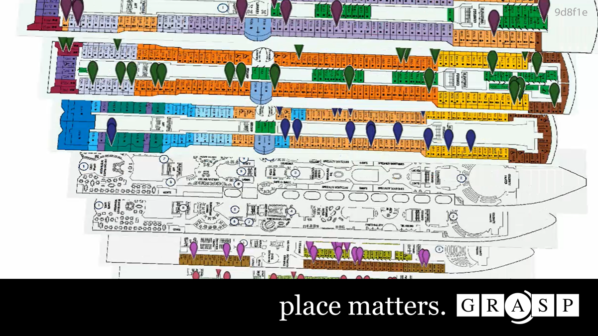
Learn more about GRASP's work with the Vessel Sanitation Program (VSP).
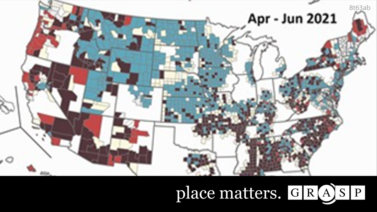
Discover how GRASP mapped COVID-19 spread to reveal health disparities.
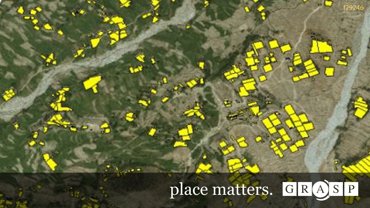
Explore how GRASP uses cutting-edge GIS technology to collaborate in polio eradication.
Discover how 3-D modeling enables the CDC to investigate cruise ship outbreaks in time and space.
Content Source:
Agency for Toxic Substances and Disease Registry


